Quick Answer: Stinson Beach is an unincorporated Marin County coastal village of roughly 500 to 600 full-time residents (ZIP 94970) on about one square mile between a 3.5-mile Pacific beach and the western slopes of Mount Tamalpais — with the National Park Service operating the main beach and protected land sealing every boundary. The market splits between a small year-round community and a substantial second-home tier, topped by Seadrift, the private association on the sand spit. The transaction realities are unlike inland Marin: the entire town runs on septic under the Stinson Beach County Water District's oversight, renovations run through coastal permitting, short-term rentals are county-capped and licensed, and coastal flood, tsunami, and erosion mapping shape insurance. The winding Highway 1 drive is part of the address — and for residents, the point.
Key Takeaways
Stinson Beach occupies one of the most constrained townsites in California: the beach and the mountain leave roughly a square mile for the village, and every edge is spoken for — the National Park Service operates the main beach at the southern end (the county's Upton's Beach stretch, where dogs run, lies just north), Mount Tamalpais State Park and GGNRA hold the slopes, and Bolinas Lagoon closes the north. The town's original name was Willow Camp, a tent resort of the 1870s; refugee cottages arrived after the 1906 earthquake, the Stinson name became official in 1916, and the beach itself passed from county to state to the National Park Service in 1977.
Governance is unincorporated Marin County with a distinctly local layer: the Stinson Beach County Water District supplies water and administers the onsite wastewater program that stands in for a sewer system, the community fields its own fire protection district, and the California Coastal Zone wraps the whole map in an additional permitting framework. Understanding those three layers is most of what separates smooth Stinson transactions from stalled ones.
Stinson Beach is a scarcity market with a split personality. In my quarter-by-quarter BAREIS MLS analysis, annual turnover runs in single digits, and the buyer pool divides between full-time coastal households and second-home buyers from San Francisco and inland Marin — a mix that gives pricing a vacation-premium character and gives the town two energies: winter-weekday quiet and summer-weekend surge. Off-market activity is a standing feature; in a village this small, many sales begin as conversations.
Two patterns decide outcomes. First, the infrastructure file leads: septic capacity and condition, water-district status, coastal-permit history, and insurance answers move Stinson deals more than staging ever will, and sellers who assemble that file before listing convert the town's known frictions into non-issues. Second, position-within-town is priced with surprising precision — steps to sand, distance from the visitor parking flows, lagoon versus ocean versus hillside — because residents live the difference every summer Saturday.
This guide is deliberately evergreen, so the perishable numbers live where I update them constantly: my Marin Market Intelligence briefings and video library carry the current quarter's BAREIS MLS data for Stinson Beach, and you can browse current listings at any time — noting that here especially, the public inventory is rarely the whole story. My off-market channel covers the rest.
The tour starts before you arrive, because in Stinson Beach the drive is part of the address. Do it twice: once on a sunny Saturday arriving at 11:00 AM — the honest version — and once midweek in the off-season, the version residents actually live.
Stop 1 — The approach, both ways. Come over the mountain on Panoramic Highway one trip and along Shoreline Highway 1 from Mill Valley the other. Note your real door-to-door times, where the road narrows, and how you feel about driving it at night and in rain — this road is the town's lifeline, its commute, and occasionally (slides happen) its vulnerability. If you can't love the drive, Stinson will not work; if you can, it becomes the daily decompression chamber.
Stop 2 — The village core. Park — note how that goes at your arrival hour — and walk the few blocks of downtown: the Parkside's bakery line, the Sand Dollar's patio, the community center's bulletin board, which is the town's actual newspaper. This is the entire commercial map, and its smallness is the point.
Stop 3 — The Calles. Roll the beach grid slowly: Calle del Mar, Calle del Arroyo, and their neighbors. Read the mix — 1906-era refugee cottages, mid-century bungalows, contemporary rebuilds — and note ground elevation as you near the sand: the flood-map conversation, visible from the driver's seat. On a summer Saturday, note whose driveways are blocked by visitor parking; position within the grid is priced.
Stop 4 — The Seadrift gate and the spit. View the private community respectfully from the public approaches: the gate, the lagoon edge along Seadrift Road, the engineered shoreline's story. The spit's two waterfronts — lagoon calm, ocean raw — are effectively different products sharing one association, and the walk along the public beach below the tide line shows you the ocean side's face.
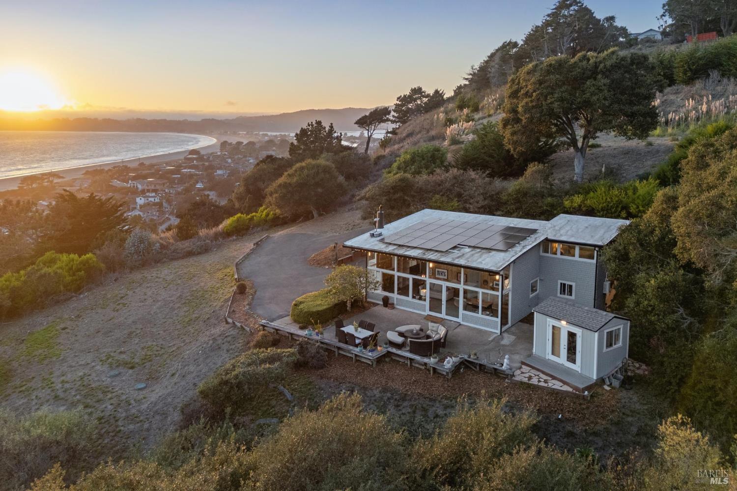
Stop 5 — The Highlands climb. Take the hillside lanes above town for the view that explains the market: the full strand, the spit, Bolinas across the lagoon, and on the clearest days the Farallones. Note the access realities on the way up — grade, width, turnouts — and the canopy transition where beach town becomes wildland edge.
Stop 6 — The beach to the Dipsea finish. End on the sand. Walk from the national park lot toward town and stand at the Dipsea Race's finishing stretch — America's oldest trail race has ended here since 1905, and the stairs-and-single-track network that delivers it (Dipsea, Steep Ravine, Matt Davis) is the resident's everyday trail system. Watch the day's visitor economy operate, then picture the same sand on a winter Tuesday. Both are true; you're buying both.
Optional extensions. Drive north around Bolinas Lagoon — harbor seals haul out on the mid-lagoon bars — toward the Bolinas turnoff; continue up Highway 1 toward Point Reyes and my Inverness guide's territory; or return over the mountain and time the run to Mill Valley's services honestly. A dedicated Stinson Beach profile video is on my production calendar — the written tour above is its working script; meanwhile every Marin tour lives on my channel @KyleFrazier and in the Imagine Marin video library.
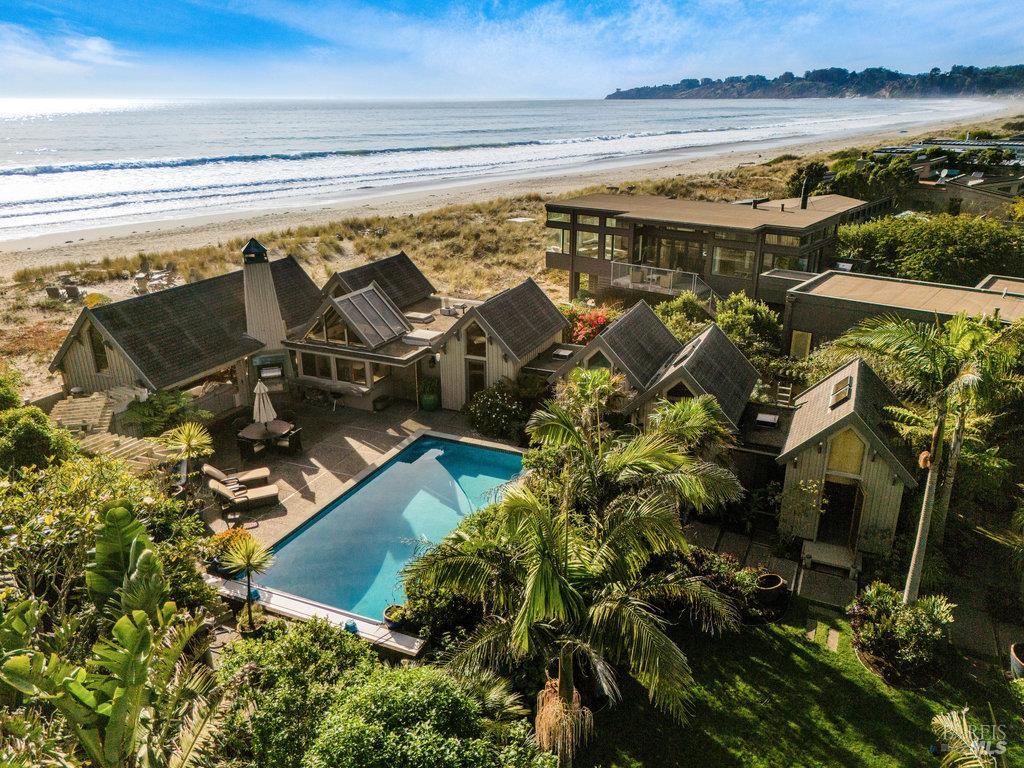
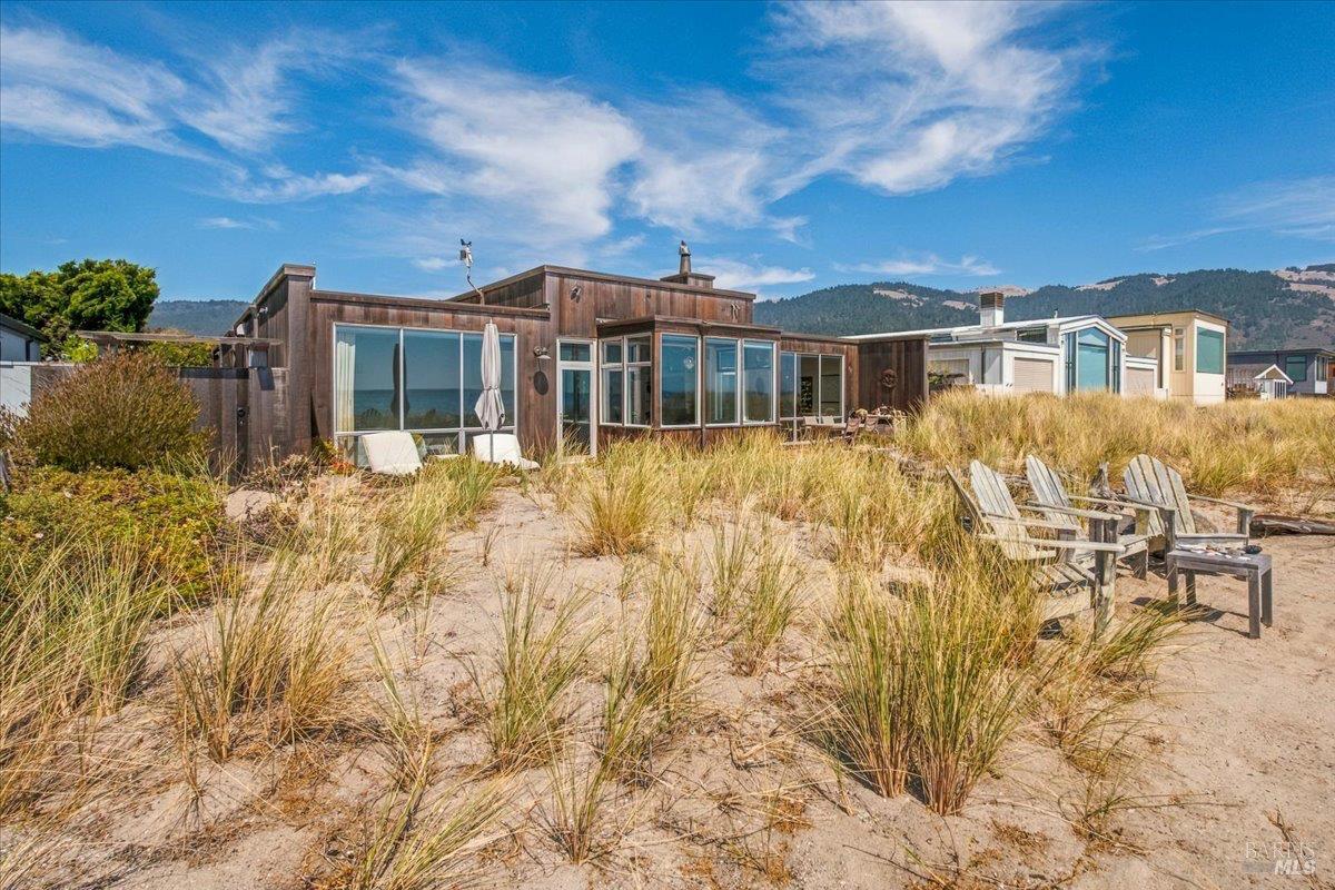
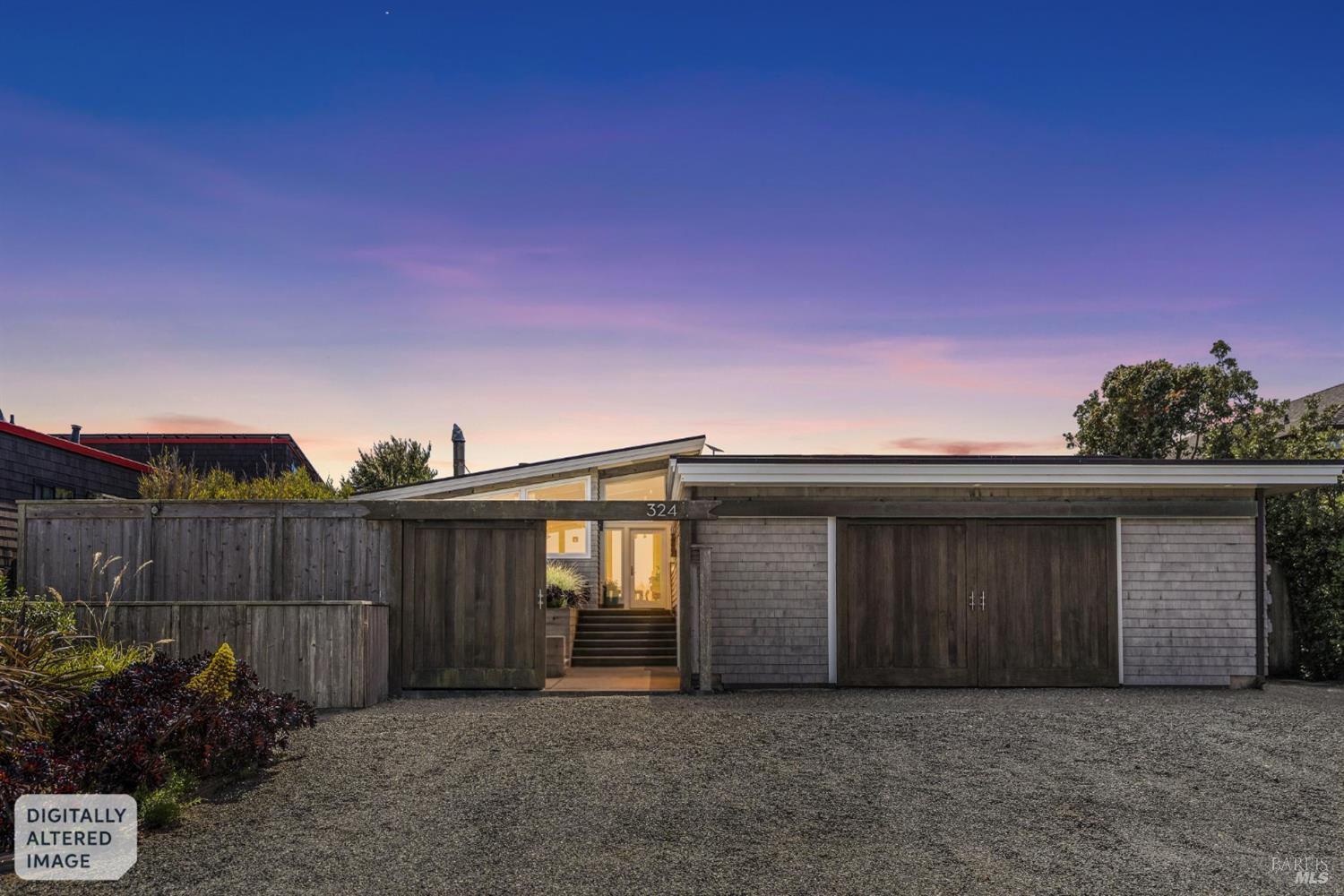
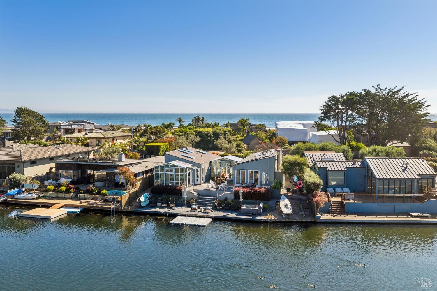
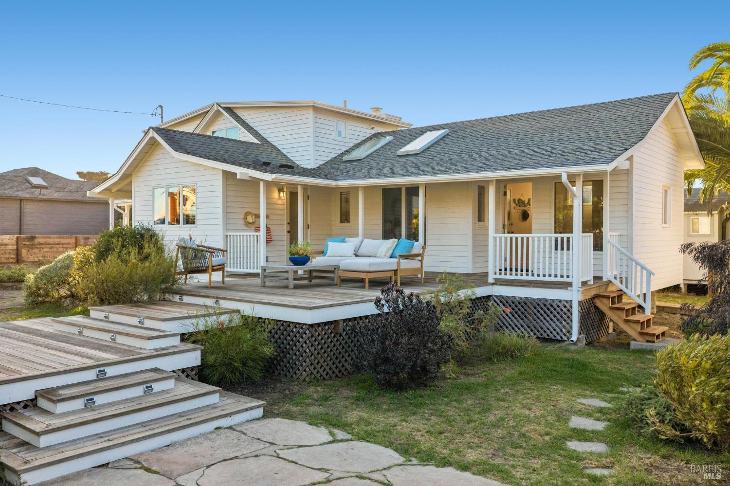
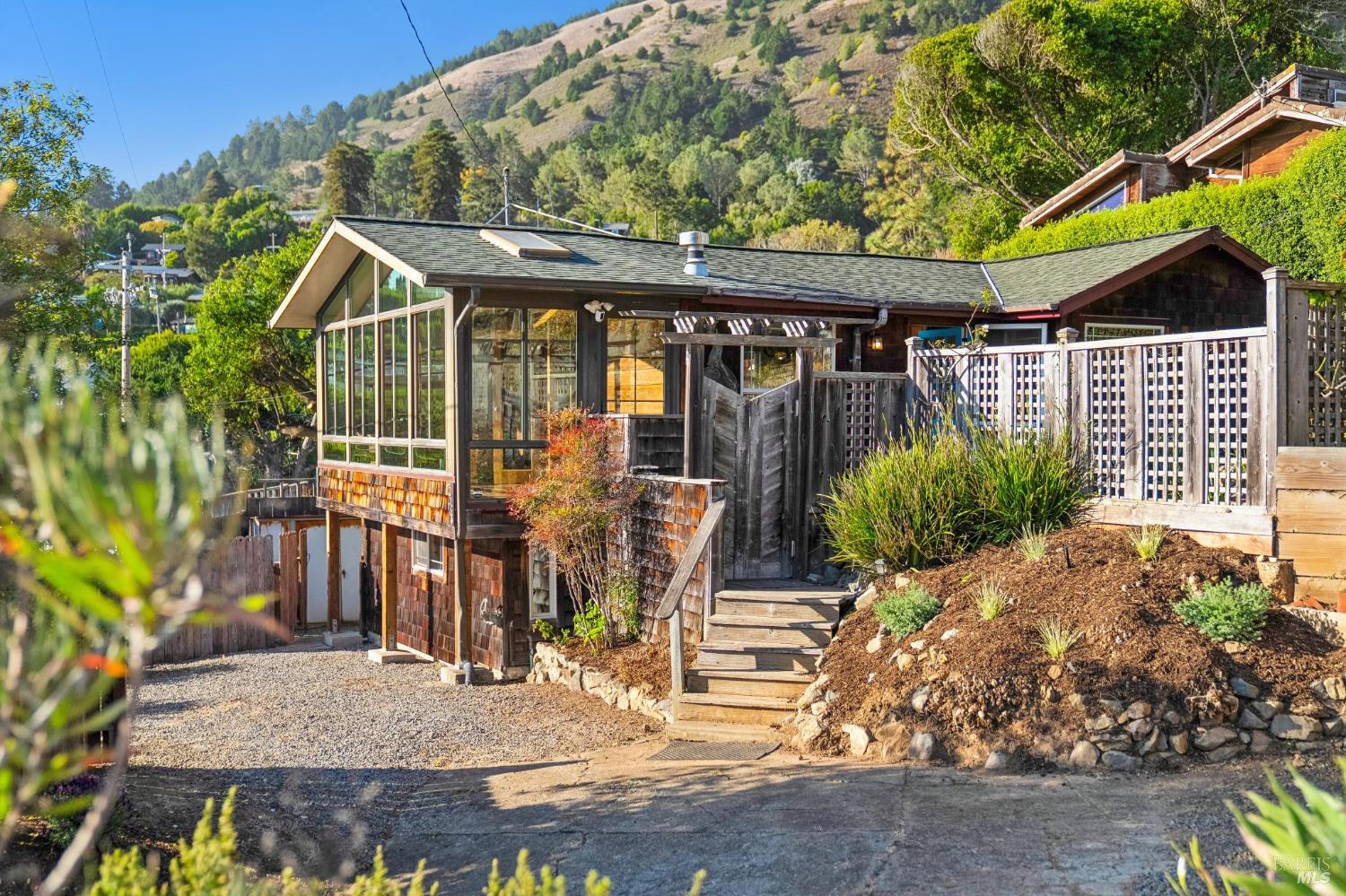
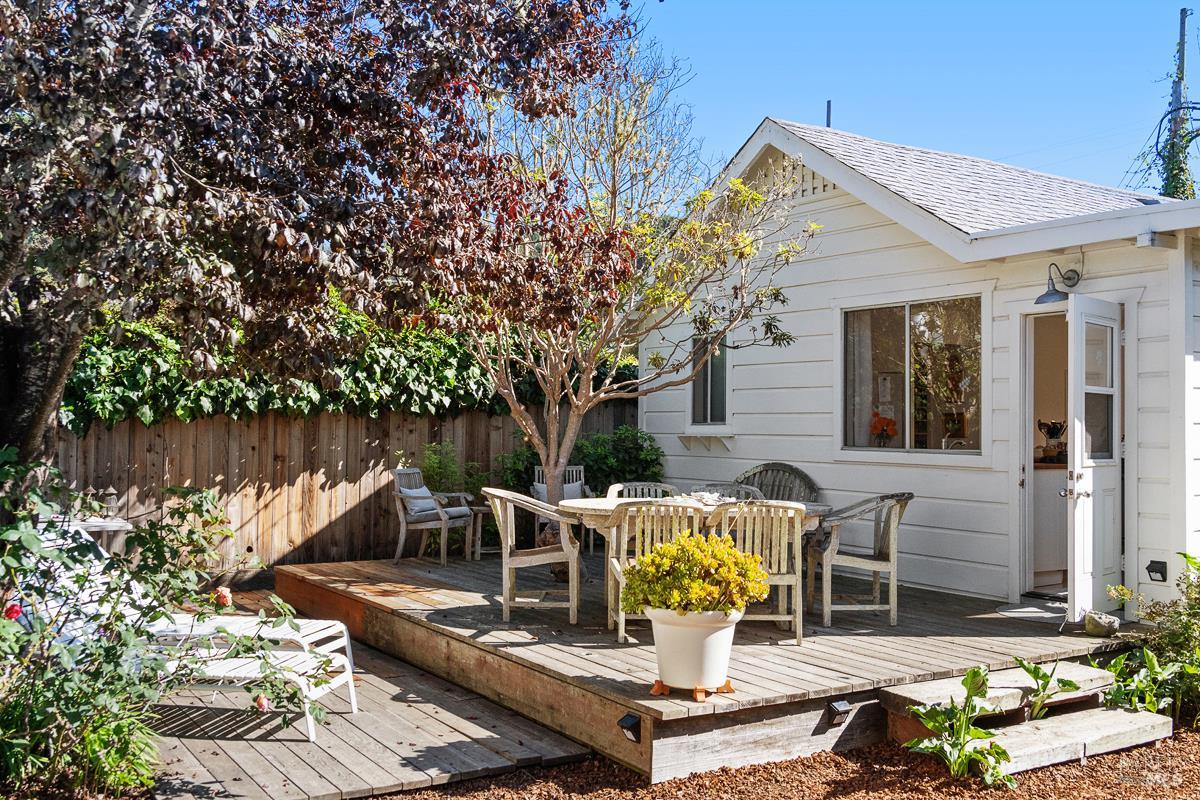
The stock is a patchwork of eras that reads like the town's biography: 1906 earthquake-refugee cottages updated across a century, classic mid-century beach bungalows, glass-and-wood contemporaries engineered for the view, and the spit's waterfront homes behind the Seadrift gate. Nothing is standard — lots are small in the grid and irregular on the hill, floor plans are creative, and the market's devoted buyers consider that character the entire point.
The diligence stack is coastal-grade everywhere: the septic file first (type, capacity, condition, permits — it caps what the house can legally be), salt-air and moisture wear on envelopes and systems, coastal FEMA and tsunami mapping with written insurance answers early, erosion and shoreline-structure history on the waterfront, wildfire-zone review on the hillside, and the coastal-permit framework wrapped around any renovation ambition. In Stinson Beach, the inspection scope isn't where deals are won — it's where they're made possible at all.
Daily life runs on the tide chart and the fog line. The beach is the front yard — surf mornings, long-strand walks, the dog stretch at Upton's — and the trail network up the mountain (Dipsea, Steep Ravine, Matt Davis) is the back. The village supplies the essentials and two institutions — the Parkside and the Sand Dollar — while the community center carries the civic calendar, and the second Sunday of June belongs to the Dipsea. Bigger errands mean Mill Valley over the hill, and residents structure weeks around that trip.
The seasonal rhythm is the town's deepest truth: summer's foggy mornings and visitor-filled weekends, fall's warm blue perfection — the locals' summer — and winter's storm-watching quiet when the village belongs entirely to itself. Bolinas Lagoon's egrets and harbor seals, Point Reyes to the north, and Muir Woods over the shoulder complete a natural setting that no other Bay Area address matches at any price.
The Bolinas-Stinson Union School District operates two campuses: kindergarten through second grade attend Stinson Beach School in town, and grades three through eight attend Bolinas School across the lagoon. For high school, Stinson Beach falls in the Tamalpais Union High School District's attendance area for Tamalpais High School in Mill Valley, over the mountain. For performance data, consult GreatSchools and the California School Dashboard directly, and verify current assignments and transportation logistics for any specific address.
Honestly: this is not a commuter town, and pretending otherwise sours purchases. Mill Valley is 35 to 45 minutes over the mountain in good conditions via Panoramic Highway or Shoreline Highway 1 — both winding, two-lane, occasionally fog-bound, and periodically closed by slides — and downtown San Francisco is an hour or more at peak, with summer weekends jamming the route inbound just as you'd head out. Stinson works beautifully for remote work, flexible schedules, and second homes; it punishes daily commuting. Drive both routes, both directions, at your real hours — the road is the town's entrance exam.
The structural stack: no Mello-Roos anywhere, and no HOA outside Seadrift's association (with its dues, rules, and assessments) and any small shared-road agreements on the hillside lanes, worth confirming in title. Beyond the roughly one percent base property tax, expect the standard county parcel taxes including the Marin Wildfire Prevention Authority (Measure C) levy, plus water-district charges. I pull the actual tax bill for any property a client is serious about.
The septic file leads everything: system capacity, condition, permits, and the district's onsite wastewater requirements — it determines legal bedroom count and expansion feasibility. Then the water file: written flood and homeowners insurance quotes in week one (coastal carriers are selective), tsunami-zone awareness, and erosion or shoreline-structure history on waterfront parcels. Renovation ambitions add the coastal-permit timeline. None of it is optional here, and all of it is manageable when sequenced early.
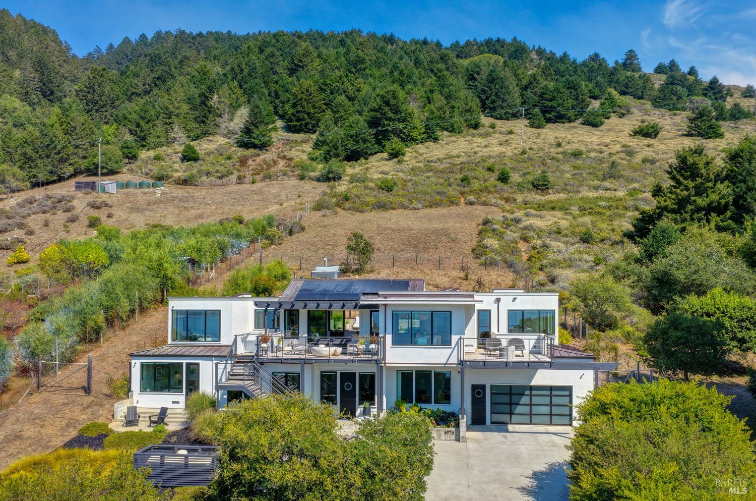
The Highlands trade the flood map for the fire map: elevated fire-severity designations at the wildland edge, AB 38 defensible-space documentation at sale, access-and-grade economics on the lanes, and the same salt-air maintenance reality as the flats — plus the evacuation-route awareness that comes with two winding roads out of town.
Stinson Beach carries both of Marin's risk maps at once. Waterside: coastal FEMA high-hazard zones on oceanfront and low parcels, marked tsunami evacuation routes, and erosion and sea-level planning as standing community topics — with insurance availability and cost as the practical gatekeeper. Hillside: elevated fire-severity designations where the village meets the wildland, served by the community's own fire protection district with the Marin Wildfire Prevention Authority's county-wide programs behind it, and AB 38 documentation applying at sale in designated zones. Verify any address in the CAL FIRE viewer and the FEMA map, and get written insurance answers — fire and flood both — before contingencies come off. On every coastal purchase I represent, that sequence is standard.
The coastal question usually comes down to which West Marin village — and whether the answer is actually the nearest full-service town instead. I maintain full guides to Inverness and Mill Valley as well.
Stinson Beach | Inverness | Mill Valley | |
|---|---|---|---|
Setting & character | The beach town — the county's great strand and its visitor economy | Forest village on Tomales Bay inside the Point Reyes orbit | Full-service town at the mountain's base, canyon and flats |
Market structure | Second-home tier over a small year-round core; Seadrift at the top | Similar second-home share; bayside and hillside cottages and retreats | Primary-residence market, top tier of Marin |
Infrastructure reality | Septic town-wide; small water district; coastal permits | Septic and small-system reality; coastal zone; own utility questions | Municipal sewer and services; standard inland permitting |
Hazard profile | Coastal flood/tsunami/erosion plus hillside WUI | Bayside flood pockets plus forested WUI | Canyon WUI; flood pockets near Richardson Bay |
Access | Two winding routes; 35-45 min to Mill Valley; slide closures happen | Sir Francis Drake to the end; ~50-70 min to central Marin | On US-101 via Tam Junction |
Short-term rentals | County-capped and licensed in coastal West Marin — verify current status | Separate town rules — verify locally | |
Relative price position | Wide band: village cottages to Seadrift waterfront at top-of-county levels | Generally below Stinson's waterfront tier, wide cottage-to-retreat band | Top tier of Marin |
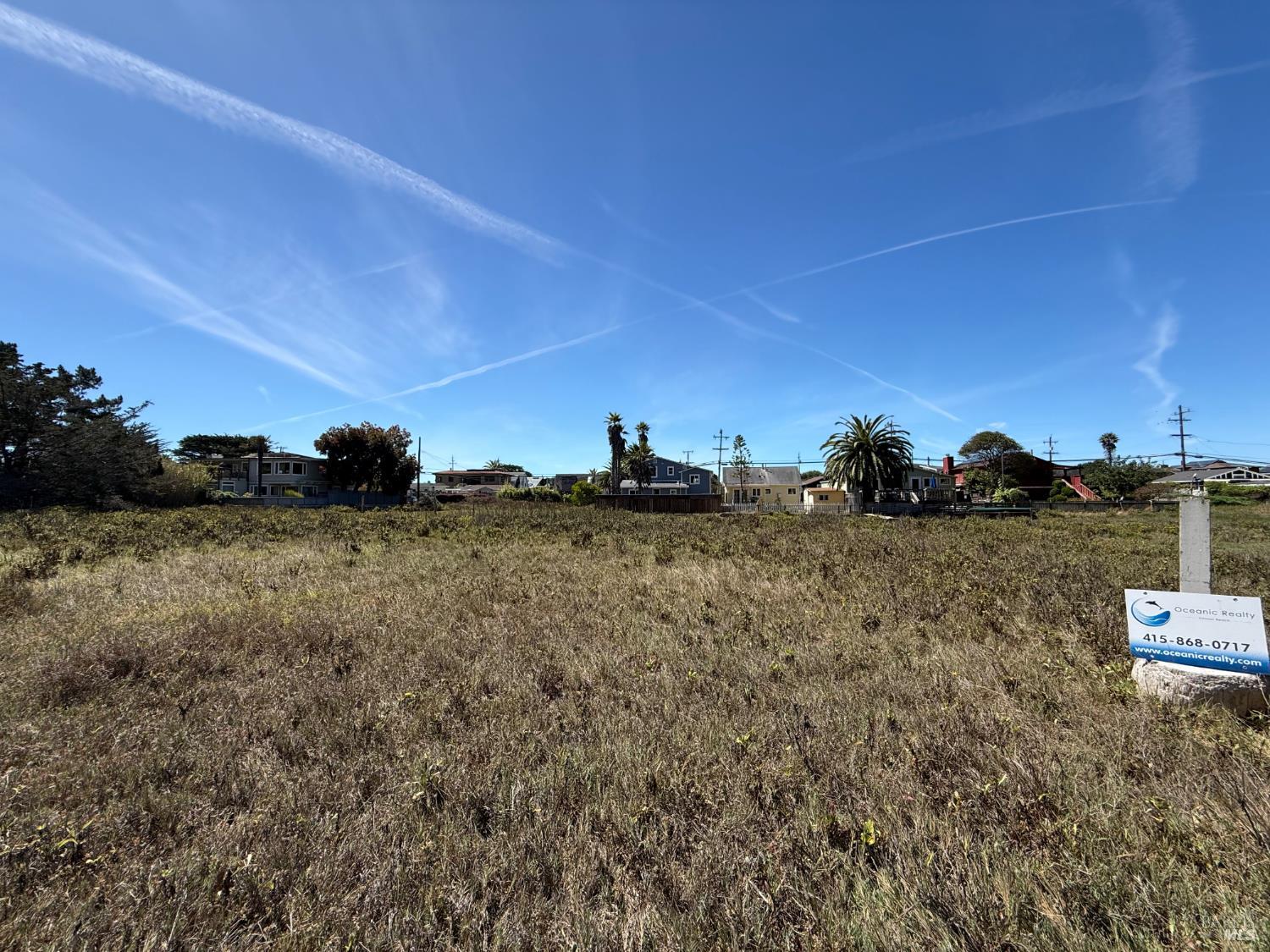
The geography is absolute: roughly one square mile of buildable land wedged between a 3.5-mile Pacific beach and the protected slopes of Mount Tamalpais, with national park, state park, and watershed land sealing every edge. A few hundred homes serve both a full-time community and a second-home market drawn from the entire Bay Area, turnover runs in single digits per year, and nothing new of consequence can ever be built. When a property surfaces here, it is an event.
No — the entire community runs on septic and other onsite wastewater systems, overseen through the Stinson Beach County Water District's onsite wastewater management program. That makes the septic file the single most important document in any transaction: system type, condition, permitted capacity, and inspection history. Capacity effectively caps legal bedroom counts, expansion plans live or die on it, and replacement on small coastal lots is expensive. I put the wastewater question first on every Stinson checklist.
The private community occupying the sand spit between the ocean and Bolinas Lagoon — private roads, its own association with rules and assessments, engineered shoreline protection with a long permit history, and the top of the Stinson market. Lots split between the calm lagoon side and the open ocean side, which live very differently. Public use of the beach below the mean high tide line was settled by a long legal compromise. Review the association documents and shoreline-structure history closely before buying in.
Assume yes until proven otherwise: Stinson Beach sits in the California Coastal Zone, where development runs through the coastal permitting framework — administered through Marin County's Local Coastal Program with the Coastal Commission behind it — on top of standard county building permits. Additions, significant remodels, shoreline work, and even some landscaping can trigger review, and timelines run longer than inland Marin. Build the coastal process into any renovation plan from day one.
Not automatically. Marin County now caps and licenses short-term rentals in coastal West Marin communities including Stinson Beach — licenses are limited in number, subject to operating rules, and not guaranteed to transfer or become available when you want one. If rental income is part of your purchase math, verify the current ordinance, license availability, and waitlist status before you write the offer, not after. I check this on every Stinson engagement because the rules have evolved.
Deeply. A substantial share of homes are weekend and vacation properties, which gives the town two personalities — quiet winter weekdays, full summer weekends — and ties pricing to Bay Area discretionary wealth as much as local fundamentals. For buyers, that means comps deserve a second look (vacation-home premiums are real), and for full-time residents it means a community that genuinely knows itself in the off-season. The year-round core, though small, is the town's civic backbone.
On warm weekends and holidays, thousands of visitors — locals cite peak days approaching fifteen thousand — descend on a town of a few hundred residents, filling the highway, the national park lot, and the Calles with parked cars. The test is simple: visit a candidate home at 11:00 AM on a sunny Saturday and again on a winter Tuesday, and buy only if you can love both versions. Position within town matters more here than almost anywhere in Marin.
Real and mappable. Oceanfront and low-lying parcels can sit in high-hazard FEMA coastal zones, the town is in a marked tsunami hazard area with posted evacuation routes, and erosion and sea-level planning are standing local topics — especially along the spit's engineered shoreline. Insurance is the practical gatekeeper: coastal coverage runs expensive and some carriers decline exposed parcels, so get written flood and homeowners quotes in the first week of escrow, not the last.
The town has its own fire protection district and sits where beach meets wildland — the hillside edges carry elevated fire-severity designations, and the Marin Wildfire Prevention Authority's programs apply. The structural fact worth internalizing is access: Highway 1 and Panoramic Highway are the ways in and out, both winding two-lane roads that also close periodically for slides. Know your evacuation routes, and factor AB 38 defensible-space documentation into hillside sales. Verify any address in the CAL FIRE viewer.
The Bolinas-Stinson Union School District operates two campuses: kindergarten through second grade attend Stinson Beach School in town, and grades three through eight attend Bolinas School across the lagoon. For high school, Stinson Beach is in the Tamalpais Union High School District's attendance area for Tamalpais High School in Mill Valley — over the mountain. Consult GreatSchools and the California School Dashboard for data, and verify current assignments and transportation logistics for any specific address.
Honestly: it is not a commuter town. Mill Valley is 35 to 45 minutes over the mountain on winding two-lane roads in good conditions, downtown San Francisco is an hour or more at peak, summer weekends jam the route in the wrong direction, and slides periodically close segments outright. Stinson works for remote workers, flexible schedules, and second homes — and the isolation is precisely what residents are buying. Drive your actual route, both directions, before you commit.
America's oldest trail race, run since 1905 from Mill Valley over the shoulder of Mount Tamalpais to its famous finish at Stinson Beach — 7.4 punishing miles of stairs and single-track, with a handicap system that lets grandmothers beat Olympians. For the town, the second Sunday of June is a civic holiday, and the Dipsea, Steep Ravine, and Matt Davis trails that deliver the race to the sand are the everyday hiking network out any resident's back door.
The Stinson Beach County Water District — the community's own small special district, which supplies water and, distinctively, administers the onsite wastewater program that governs the town's septic systems. Small coastal districts live close to their supply, so conservation rules and connection questions deserve early attention in any purchase or expansion plan. Confirm service, meter status, and any district requirements for the specific parcel during diligence.
Locals will tell you fall — September and October deliver the warmest, clearest beach days of the year after the summer fog pattern relaxes, with the crowds thinned. Summer runs foggier than visitors expect, especially mornings; winter brings storm-watching and the town at its most local. The buyer's version of this: visit a serious candidate in at least two seasons, because the microclimate is a genuine part of what you are purchasing.
Three coastal villages, three temperaments. Stinson is the beach town — the county's great strand, the visitor economy, the second-home market. Bolinas, across the lagoon, is famously inward-facing and even smaller, with a similar septic-and-coastal diligence stack. Inverness sits farther north on Tomales Bay inside the Point Reyes orbit — quieter water, forest hillsides, and the same West Marin infrastructure questions. All three trade scarcity for services; the daily rhythm you want decides among them.
The answer is the agent who leads with the infrastructure file — septic capacity, coastal permits, shoreline and insurance realities — because in Stinson Beach those decide transactions before price does. I am Kyle Frazier, JD, CRS, CLHMS, a Broker Associate with Compass (DRE #01405738) and a Marin County broker for more than 20 years, covering the coast alongside every inland sub-market. I analyze BAREIS MLS data quarter by quarter and have been quoted by the Wall Street Journal, Financial Times, and San Francisco Chronicle.
A dedicated Stinson Beach profile is on my production calendar — the written driving tour above is its working script. In the meantime, my Marin town tours, quarterly market briefings, and coastal-market analyses live on my channel @KyleFrazier — over 20,000 local subscribers and one million views — and in the Imagine Marin video library.
I'm Kyle Frazier — JD, CRS, CLHMS, Broker Associate at Compass, and a Marin County broker for more than 20 years covering the coast alongside every inland sub-market, quoted by the Wall Street Journal, Financial Times, and San Francisco Chronicle. Stinson Beach transactions are won on the infrastructure file — septic capacity, coastal permits, insurance answers — and that is how I run them, with quarterly BAREIS MLS analysis plus access to off-market and pre-market opportunities in a village where many sales begin as conversations. For buyers, my clients obtain full underwriting up front so their offers compete like cash when the rare right home surfaces. For owners, start with a discreet, data-driven valuation second opinion.
Book a consultation · Call or text (415) 350-9440 · [email protected] · Explore more Marin neighborhood guides.
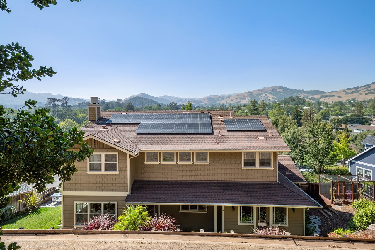 Novato, CA Real Estate: A Resident Broker's Neighborhood Guide
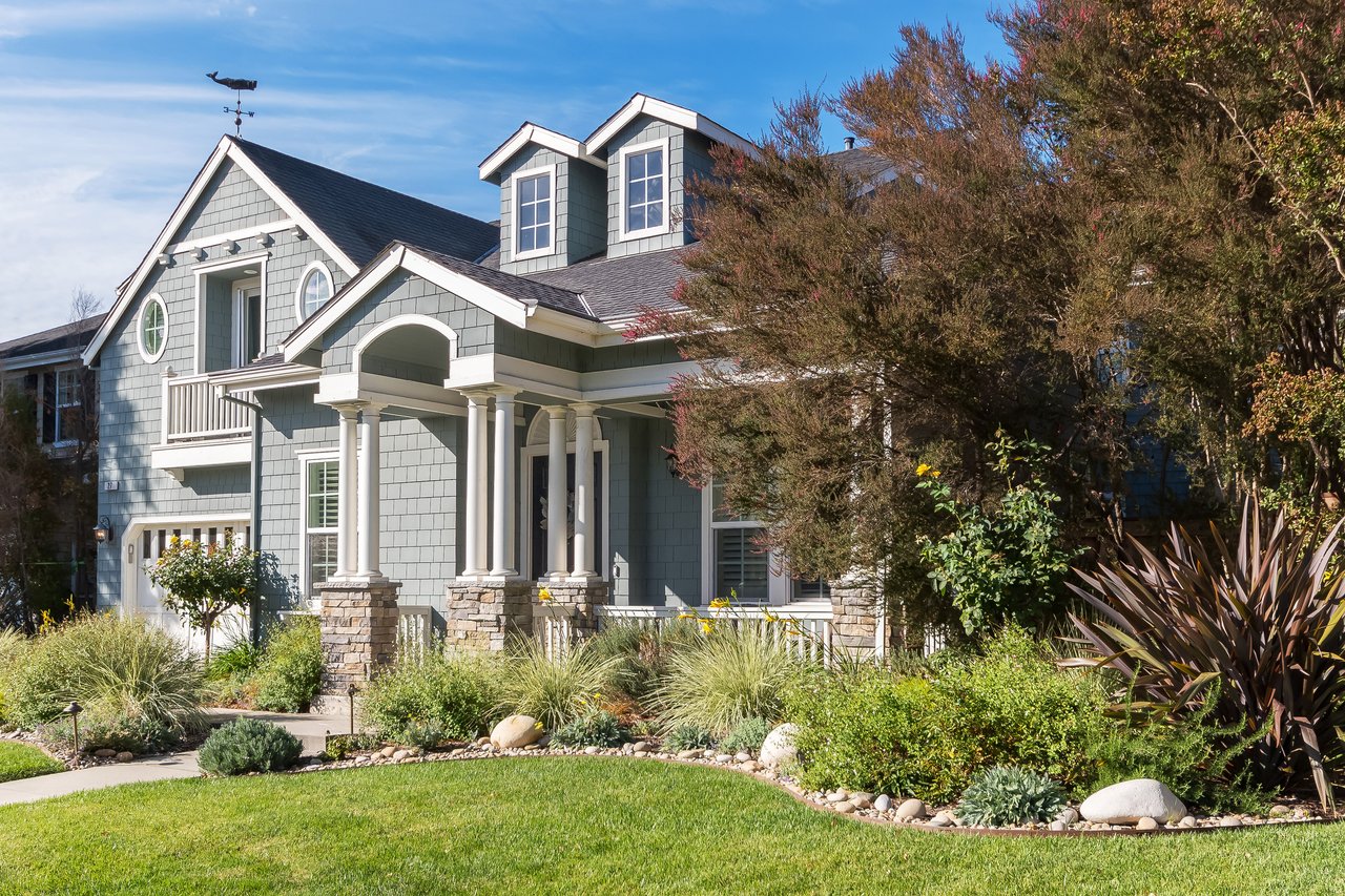 Pointe Marin, Novato CA (94949): Current Listings & Complete Neighborhood Guide
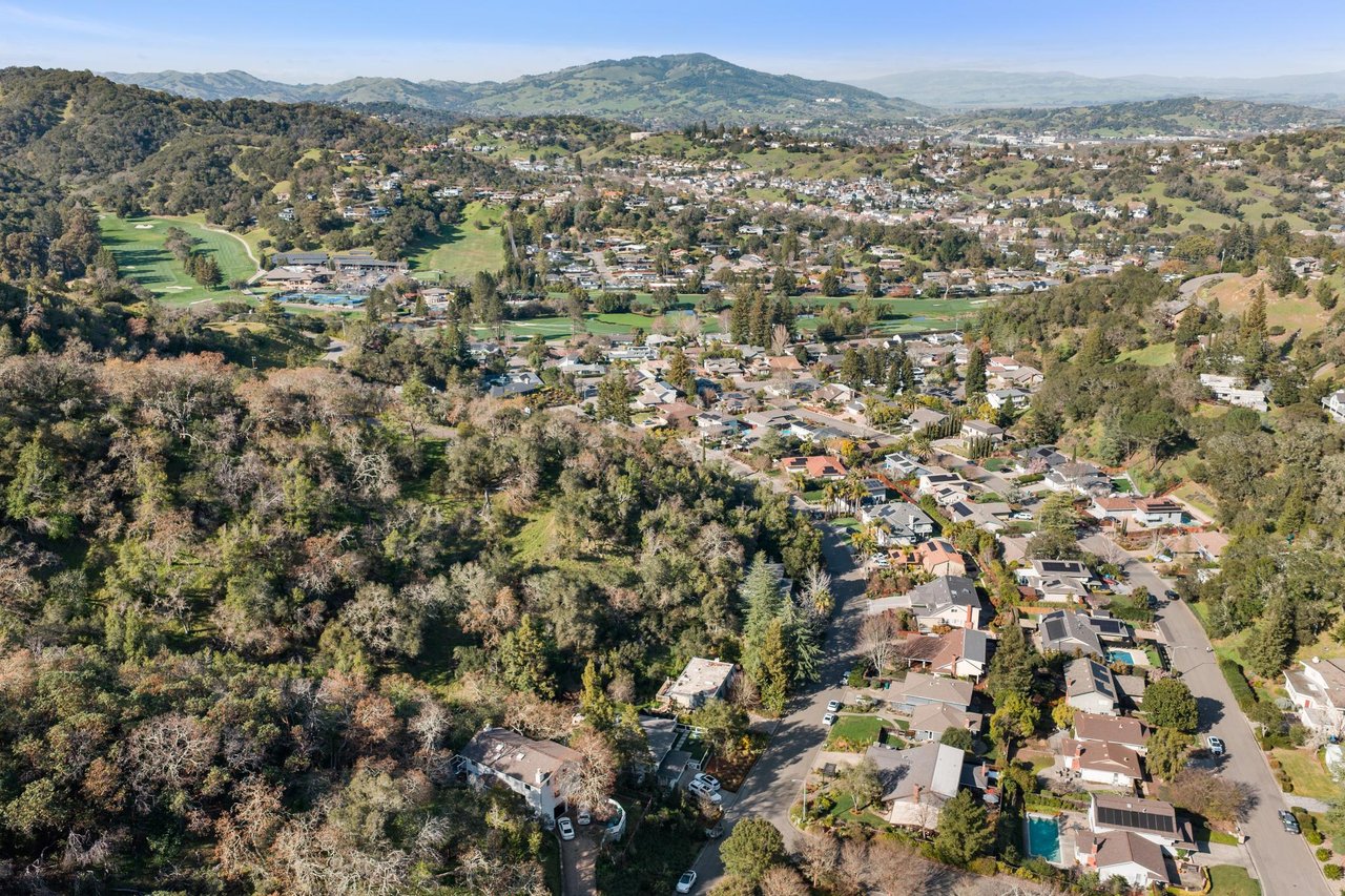 Marin Country Club Estates (Country Club) Novato 94949 Guide
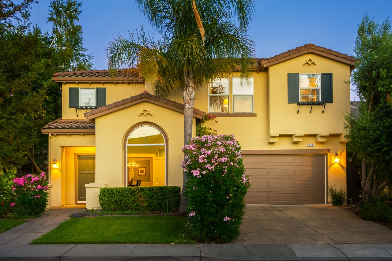 Hamilton Field, Novato (94949): The Definitive 2026 Resident & Buyer Guide
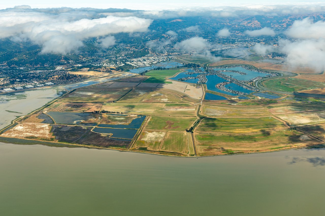 Bel Marin Keys, Novato (94949): Complete Waterfront Community Guide
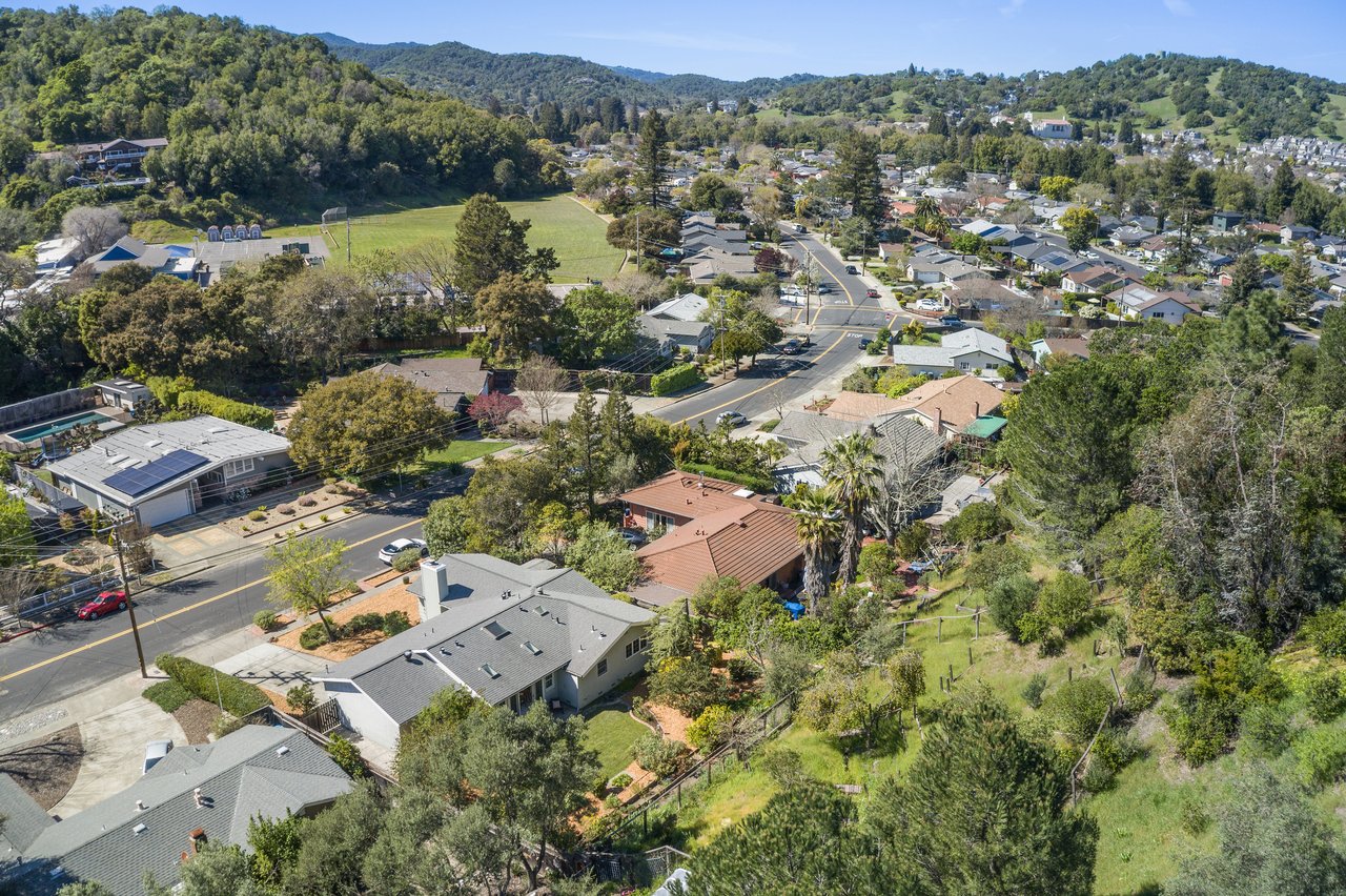 Loma Verde, Novato (94949): Complete Neighborhood Guide
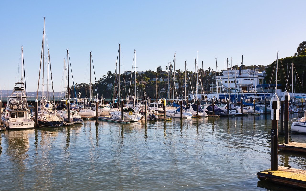 Tiburon, CA Real Estate: A Marin Luxury Broker's Complete Town Guide
Stinson Beach, CA Real Estate: A Marin Broker's Complete Guide
Tiburon, CA Real Estate: A Marin Luxury Broker's Complete Town Guide
Stinson Beach, CA Real Estate: A Marin Broker's Complete Guide
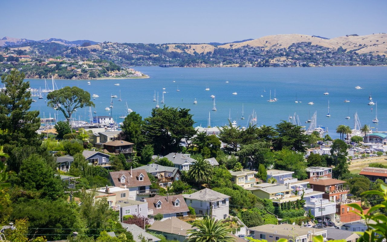 Sausalito, CA Real Estate: A Marin Broker's Complete Town Guide
 San Anselmo, CA Real Estate: A Marin Broker's Complete Town Guide
 Ross, CA Real Estate: A Marin Broker's Complete Town Guide
 Mill Valley, CA Real Estate: A Marin Broker's Complete Town Guide
 Larkspur, CA Real Estate: A Marin Broker's Complete Town Guide
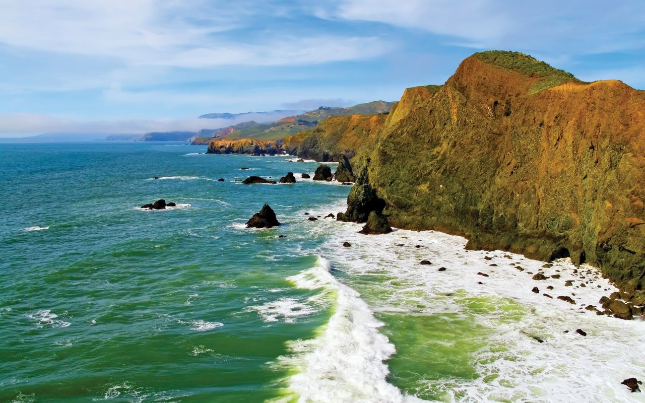 Inverness, CA Real Estate: A Marin Broker's Complete Guide
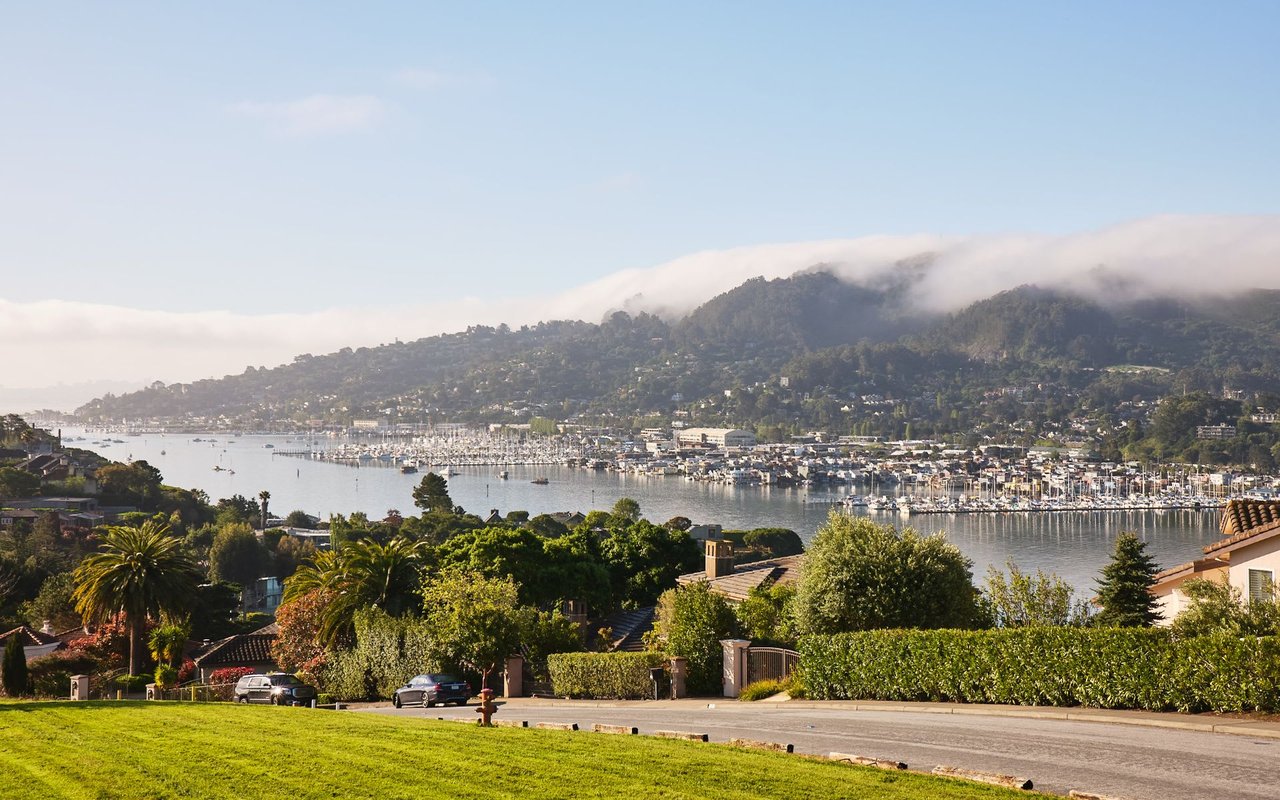 Greenbrae, CA Real Estate: A Marin Broker's Complete Guide
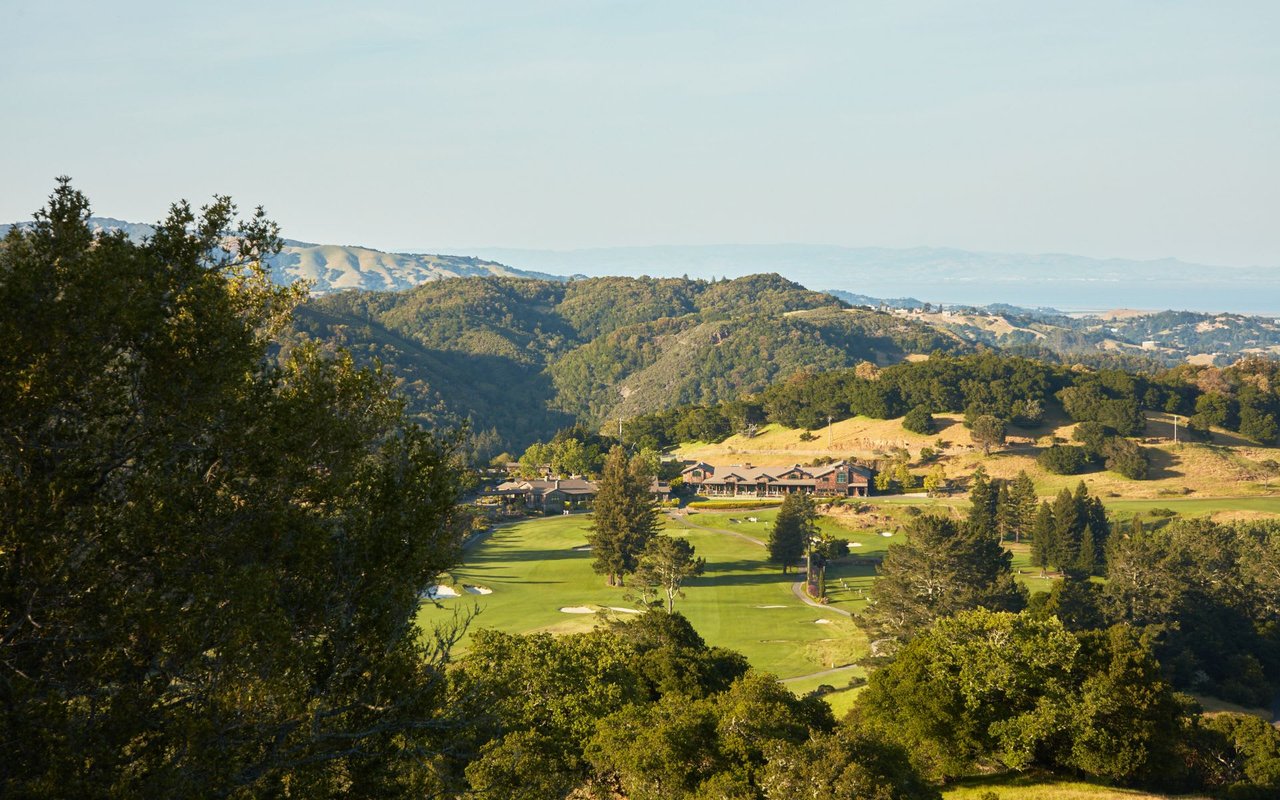 Fairfax, CA Real Estate: A Marin Broker's Complete Town Guide
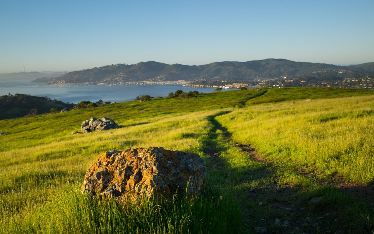 Corte Madera, CA Real Estate: A Marin Broker's Complete Town Guide
 San Rafael, CA Real Estate: A Marin Broker's Complete Town Guide
 Kentfield, CA Real Estate: A Marin Broker's Complete Guide
 Belvedere, CA Real Estate: A Marin Broker's Complete City Guide
 Nicasio, CA Real Estate: A Marin Broker's Complete Valley Guide