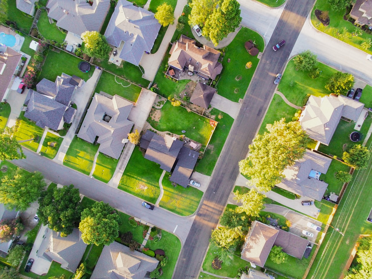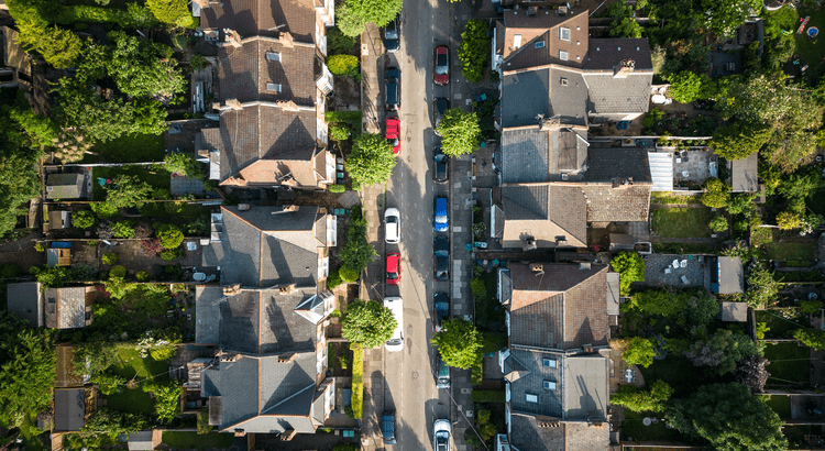
Marin County is undergoing significant updates to its fire hazard maps, reflecting evolving wildfire risks and prompting local authorities to reassess safety measures.
🔥 Updated Fire Hazard Severity Zone (FHSZ) Maps
In early 2025, CAL FIRE released updated Fire Hazard Severity Zone (FHSZ) maps for both State Responsibility Areas (SRAs) and Local Responsibility Areas (LRAs). These maps utilize advanced modeling that considers factors like vegetation, topography, and climate data to classify areas into Moderate, High, or Very High fire hazard zones.
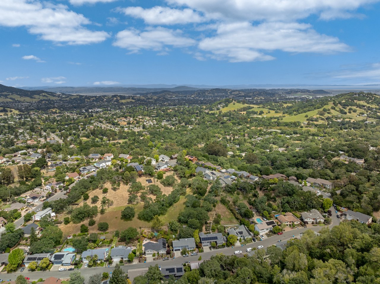
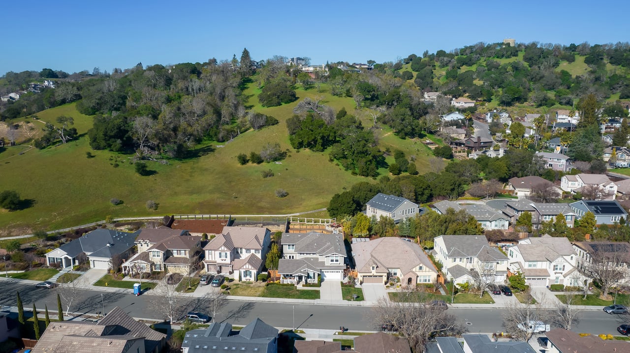
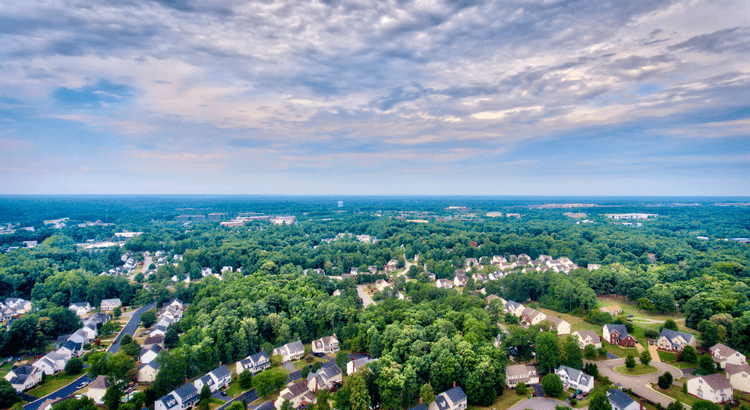
Notably, in Marin County, the updated maps indicate a decrease in land classified as "Very High" severity zones. However, local fire officials, such as Mark Brown of the Marin Wildfire Prevention Authority, have expressed concerns that these state-level assessments may not fully capture localized risks. Consequently, some cities within the county are contemplating expanding their designated hazard zones beyond state recommendations to better align with local conditions.
🏘️ Local Implications and Public Engagement
Cities like San Rafael are actively seeking public input on the proposed FHSZ maps. While the city anticipates minimal immediate impact due to existing wildfire mitigation efforts and building codes, residents are encouraged to review the maps and provide feedback. This participatory approach ensures that community insights inform the adoption of the new hazard designations.
Similarly, the Southern Marin Fire Protection District has highlighted the importance of these updated maps in guiding land use planning and building code enforcement. Residents are advised to familiarize themselves with the new classifications, as they may influence future development and safety regulations.
🧭 Enhanced Evacuation Planning Tools
To bolster emergency preparedness, Marin County has introduced a new evacuation mapping tool accessible at emergency.marincounty.org. This platform allows residents to identify their specific evacuation zones, understand potential routes, and receive real-time updates during emergencies. The initiative is part of the "Know Your Zone" campaign, aiming to enhance community readiness in the face of wildfire threats.
🌿 New "Zone Zero" Landscaping Requirements
A new regulation, known as “Zone Zero,” mandates a five-foot buffer zone around homes in High and Very High fire hazard areas to be free of combustible vegetation. This defensible space aims to reduce the risk of structure ignition from embers and radiant heat. The requirement is expected to take effect later in 2025 and will impact many homeowners in areas like West Marin.
🔍 Accessing and Interpreting the Maps
Residents can explore the updated FHSZ maps through CAL FIRE's official portal: Fire Hazard Severity Zones. It's important to note that these maps assess "hazard"—the potential for wildfire occurrence—rather than "risk," which considers both hazard and the presence of people or structures. Therefore, even areas not designated as high hazard may still face significant risks based on local conditions and development patterns.
For a more detailed understanding of how these updates may affect your property or community, consider reaching out to local fire departments or the Marin Wildfire Prevention Authority. Engaging with these resources can provide tailored information and guidance on mitigation strategies specific to your area. If you have a specific address or neighborhood in mind, we can assist you in interpreting the new hazard designations and suggest appropriate preparedness measures.