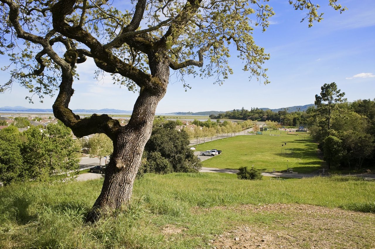
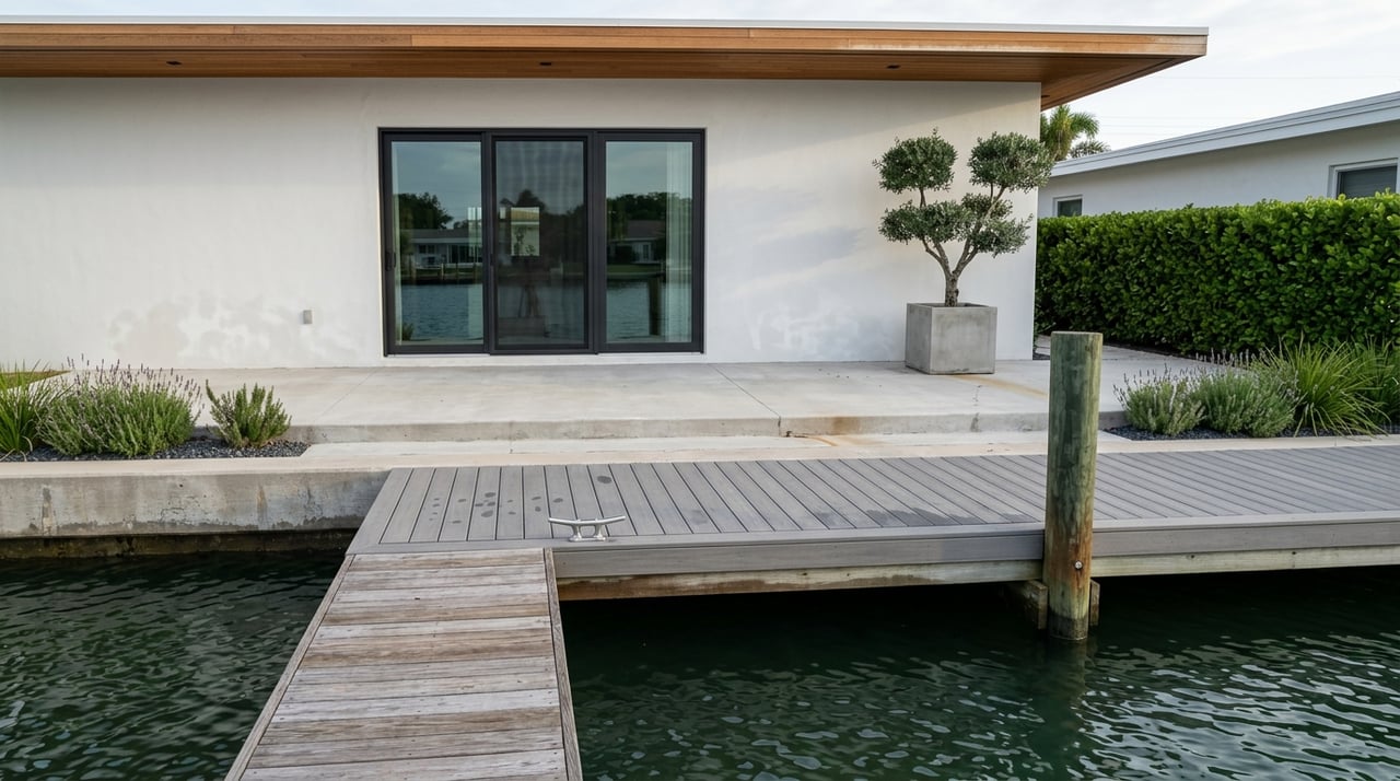
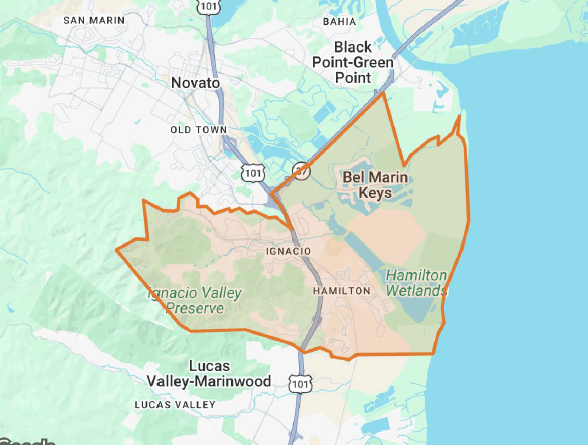
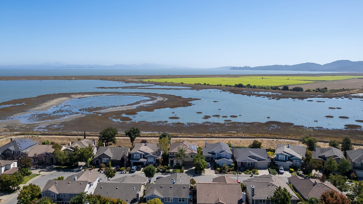
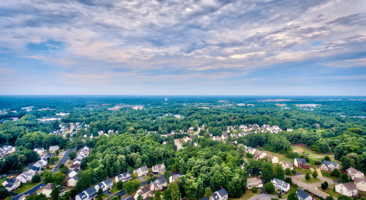
Thinking about buying in Bel Marin Keys? You're considering one of Marin County's most unique waterfront communities. With direct lagoon access, stunning views of San Pablo Bay, and a true boating lifestyle, it's easy to see the appeal. But waterfront living comes with important questions about flood zones, insurance costs, and infrastructure that can significantly impact your budget and long-term plans.
This comprehensive guide walks you through everything you need to know about flood risk, insurance requirements, and the costs associated with living in this protected waterfront community. Whether you're comparing properties or already in escrow, these insights will help you make informed decisions.
Understanding Your Flood Zone: Start Here
Your first step before making an offer is understanding exactly where the property sits on FEMA's flood maps. This determines your insurance requirements and costs.
How to Check Your FEMA Status
Visit the FEMA Flood Map Service Center and enter the property address. You'll receive:
- The current Flood Insurance Rate Map (FIRM) panel
- Flood zone designation
- Base flood elevation (BFE) where applicable
- Any notes about levee protection
Critical tip: Focus on where the actual structure sits, not just the lot boundaries. Two homes on the same street can have completely different elevations and insurance requirements.
Save the map panel number—you'll need it for lender conversations and insurance quotes.
Flood Zone Quick Reference
Understanding the terminology makes everything easier:
SFHA (Special Flood Hazard Area): Areas with a 1% annual chance of flooding (sometimes called the "100-year floodplain")
Zone AE: The most common SFHA designation in Bel Marin Keys. BFE is shown on the map.
Zone VE: Coastal areas with high-velocity wave action. Higher construction standards and typically higher insurance premiums.
Zone X (shaded): 0.2% annual chance flood zone (the "500-year" floodplain). Lower risk, often lower premiums.
BFE (Base Flood Elevation): The height floodwaters are expected to reach in a 1% annual chance event. Your structure's elevation relative to BFE is crucial for insurance pricing.
LOMA/LOMR: FEMA map amendments that can remove a structure or area from the SFHA with proper documentation.
"Area Protected by Levee": A map notation acknowledging levee protection—but residual risk still exists.
The Levee System and What It Means for You
Bel Marin Keys benefits from levees, pump stations, tide gates, and the lagoon system that work together to manage water levels and protect the community. Understanding how this infrastructure affects your insurance requirements is essential.
FEMA Levee Accreditation Explained
FEMA can accredit a levee system when it meets specific standards for design, maintenance, and operations. This accreditation can lead to FEMA removing areas from the SFHA through a Letter of Map Revision (LOMR).
Here's the reality most lenders follow:
If your structure is in an SFHA (Zone AE or VE): Your lender will almost certainly require flood insurance as a condition of your mortgage.
If a FEMA-accredited levee and LOMR removed the area from the SFHA: Many lenders won't require coverage, but you still face residual risk and requirements can change if the levee is de-accredited.
If you have property-specific evidence: An Elevation Certificate showing your lowest floor is above BFE, or a property-specific LOMA, may satisfy or eliminate the lender requirement.
The Long-Term View
Levee accreditation isn't permanent—it depends on continued maintenance, inspections, and documentation. If levees are de-accredited or maps are updated to reflect sea level rise and new modeling, lenders can reinstate insurance requirements. Plan for all three time horizons: short, mid, and long term.
Flood Insurance: What You'll Actually Pay
Most buyers in mapped flood zones meet lender requirements with a National Flood Insurance Program (NFIP) policy, though private flood insurance is increasingly available and may offer better pricing or coverage options.
What Drives Your Premium?
Your flood insurance cost depends on several factors:
- Flood zone designation (AE, VE, or X)
- Your structure's elevation relative to BFE
- Foundation type (slab, crawlspace, elevated)
- Coverage limits and deductible choices
- Prior flood claims on the property
- Community Rating System (CRS) discounts (if applicable in Marin County)
The Power of an Elevation Certificate
An Elevation Certificate is one of the most valuable documents for accurate insurance pricing. It provides certified measurements of your structure's elevation, which can dramatically impact your premium—especially if your home sits above the BFE.
If the seller doesn't have one, budget $400-800 to have one prepared by a licensed surveyor.
Getting Competitive Quotes
Don't rely on a single quote. Get written estimates from:
- An NFIP agent (the traditional option)
- At least one private flood insurance carrier
Ask each agent about:
- Coverage differences and exclusions
- Deductible options
- Multi-year premium projections (costs often increase)
- Sewer backup coverage and other endorsements
Private insurers may price coastal risk differently than FEMA maps suggest, so comparison shopping pays off.
The Bel Marin Keys Community Services District (CSD)
The Bel Marin Keys CSD is the special district that operates and maintains the infrastructure protecting your waterfront investment. Understanding the district's role and costs is critical to evaluating total ownership expenses.
What the District Manages
The BMK CSD typically handles:
- Levee maintenance and inspections
- Tide gate operations
- Pump station operations
- Drainage infrastructure
- The lagoon system and water quality
- Navigational locks
- Boat ramps and waterfront access
The district coordinates with county, state, and federal agencies on inspections, grants, and hazard mitigation projects.
How It's Funded
The CSD operates through parcel assessments, special taxes, and occasionally bonds. This means your property tax bill includes a CSD assessment that funds ongoing operations and capital improvements.
Why This Matters to Buyers
Infrastructure costs are ongoing, and major upgrades can trigger higher assessments. During your due diligence period, request:
- Current CSD assessment for the property
- Last three years of district budgets and meeting minutes
- Engineering and inspection reports on levees and infrastructure
- Any planned capital projects or anticipated bond measures
- FEMA accreditation documentation and status
These documents help you understand both near-term costs and long-term financial exposure.
Your Complete Due Diligence Checklist
Use this roadmap to gather information before and during your offer period.
Pre-Offer and Early Diligence
□ Confirm FEMA designation for the specific structure on the FEMA Flood Map Service Center
□ Request seller's flood insurance declarations and claims history (last 5-10 years)
□ Ask for Elevation Certificate or plan to order one
□ Request BMK CSD documents: current assessment bill, budgets, meeting minutes, levee status
□ Check county property tax records for all parcel taxes and special assessments
□ Get lender confirmation in writing about flood insurance requirements
□ Obtain insurance quotes from NFIP and private carriers with multi-year projections
Seller Disclosure Review
California law requires sellers to disclose material facts about flood hazards and flood-related repairs. Review all prior disclosures and repair records carefully. Look for patterns of water intrusion, previous flood damage, or repeated maintenance issues.
Planning for the Future: Near, Mid, and Long Term
Smart buyers look beyond the immediate costs to understand how flood risk and expenses may evolve.
Near-Term Costs (Year 1-3)
Budget for:
- Your annual BMK CSD assessment
- First year's flood insurance premium
- Elevation Certificate if needed
- Any up-front mitigation work you choose to complete
These costs directly affect your total monthly housing expense and closing costs.
Mid-Term Considerations (3-10 Years)
Plan for:
- Potential premium increases as insurers re-price risk
- Community-wide claims that can drive rates up
- FEMA map updates, especially as sea level data improves
Long-Term Outlook (10+ Years)
Sea level rise and changing groundwater dynamics will influence:
- Future remapping and flood zone changes
- Major infrastructure upgrades and assessments
- Insurance availability and affordability
- Property values and marketability
Explore the NOAA Sea Level Rise Viewer and California Ocean Protection Council guidance to see scenarios relevant to the North Bay. Keep informed about BMK CSD planning and reserve funding for future needs.
What a Smart Financial Plan Looks Like
A comprehensive plan for buying in Bel Marin Keys combines:
✓ Property-specific flood map review and zone confirmation
✓ Current Elevation Certificate
✓ Written lender expectations and requirements
✓ Two competitive insurance quotes with multi-year projections
✓ BMK CSD financial documents and capital plans
✓ Clear view of near, mid, and long-term cost scenarios
With these elements, you can compare properties on true total cost of ownership - not just list price. This analysis reveals which homes offer the best long-term value and which might carry unexpected financial burdens.
Moving Forward with Confidence
Waterfront living in Bel Marin Keys offers a lifestyle few Marin communities can match. The lagoons, boating access, and San Pablo Bay connection create something special. Understanding the flood insurance landscape, infrastructure costs, and long-term planning considerations ensures you can enjoy it all while making a sound financial decision.
If you want local guidance while evaluating options in Bel Marin Keys and the 94949 micro-markets, the Imagine Marin Team is here to help. We combine neighborhood-level expertise with a disciplined, finance-forward approach so you can buy with confidence and plan for the future.
Frequently Asked Questions
How do I tell if a Bel Marin Keys home is in a FEMA Special Flood Hazard Area?
Look up the address on the FEMA Flood Map Service Center. Check whether the structure is mapped in Zone AE or VE, note the BFE, and save the map panel number for your records.
Will my lender require flood insurance if the home is behind a levee?
Lenders generally require coverage if the structure is mapped in an SFHA. If a FEMA-accredited levee and a LOMR have removed the area from the SFHA, many lenders won't require it—but residual risk remains and requirements can change if accreditation status changes.
What factors affect flood insurance costs in Bel Marin Keys?
Premiums depend on your flood zone, the structure's elevation relative to BFE, coverage limits and deductibles, foundation type and building features, prior claims history, and any Community Rating System premium discounts available.
What does the Bel Marin Keys CSD do and why does it matter to me?
The district maintains levees, pumps, tide gates, and lagoons. It finances this work through parcel assessments and plans capital projects that can influence your future costs and insurance conditions. Understanding the CSD's financial health and capital plans is essential for long-term budgeting.
How does sea level rise change future risk and insurance?
Rising sea levels increase the frequency and severity of coastal flooding. This can drive FEMA remapping, higher premiums, and increased infrastructure costs over time. Review scenarios in the NOAA Sea Level Rise Viewer and plan for potential adaptation costs and assessments.
What documents should I request from the seller and district during due diligence?
Request the seller's flood insurance declarations, claims history for the past 5-10 years, any existing Elevation Certificate, current BMK CSD assessment costs, recent budgets and meeting minutes, and any levee inspection or accreditation records. These documents provide the complete picture of costs and risks.